+67°
Wind
14 mph
Humidity
70 %
UV index
0 of 11
04:00 AM
+66°
06:00 AM
+64°
08:00 AM
+62°
Columbus, 04/01/2026
Weather conditions
Wind
14 mph
Rain
7 mm
Temperature
+67°
Feels Like
+67°
Humidity
70 %
Pressure
1014 hPa
Cloudiness
40 %
UV Index
0
Sunrise
7:15 AM
Sunset
7:55 PM
Moonrise
7:51 PM
Moonset
6:51 AM
Precipitation Probability
100 %
Dew Point
+57°
Wind Gust
22 mph
-
CO Carbon Monoxide136.87 ppm
-
NO Nitric Oxide0 ppm
-
NO2 Nitrogen Dioxide2.24 ppm
-
O3 Ozone79.17 ppm
-
SO2 Sulfur Dioxide1.5 ppm
-
PM2.5 Fine Particulate Matter1.98 µg/m³
-
PM10 Coarse Particulate Matter3.2 µg/m³
-
NH3 Ammonia1.44 ppm
Hourly Forecast
Air Quality Forecast
Weather map in Columbus
Choose from Precipitation, Clouds, Temperature, or Wind to see the map that matters most to you.
⚡Weather & Life

Weather Lore vs. Science: Which Folk Omens Actually Hold Water?
356 days ago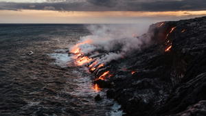
Birthplace of Islands: Exploring the Dynamic Landscapes of Hawaiʻi Volcanoes National Park
356 days ago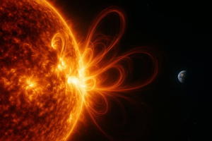
Beyond the Blue Sky: Understanding Solar Flares and Their Impact on Earth
357 days ago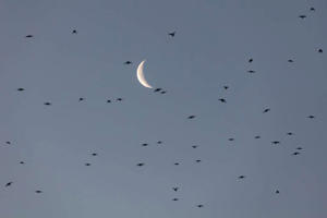
Beyond Umbrellas and Sunscreen: Why Humanity is Obsessed with Weather Forecasts
356 days agoFrequently Asked Questions
Learn more about Weatheradar’s weather parameters, their units of measurement, and what values to pay attention to.
Atmospheric Parameters
Pressure refers to the atmospheric pressure at sea level, measured in hectopascals (hPa). Values higher than 1020 hPa often indicate clear skies, while values below 1000 hPa may signal storms or unsettled weather.
Humidity represents the percentage of water vapor in the air. Higher values (above 70%) indicate sticky or humid conditions, often preceding rain or fog.
Temperature Parameters
"Feels Like" accounts for wind chill or humidity, making it feel colder or warmer than the actual temperature. For example, wind can make a day feel colder, while high humidity makes it feel hotter.
The dew point is the temperature at which the air becomes saturated and water vapor condenses. Higher dew points (>20°) indicate humid conditions, while lower dew points (<10°) mean drier weather.
UV and Precipitation
The UV Index measures ultraviolet radiation from the sun. Values 0–2 are safe, while values 6+ require sun protection (sunscreen, shade).
Precipitation Probability is the chance of rain or snow. Values above 50% indicate a moderate likelihood, while values above 80% suggest you should carry an umbrella.